

Utah
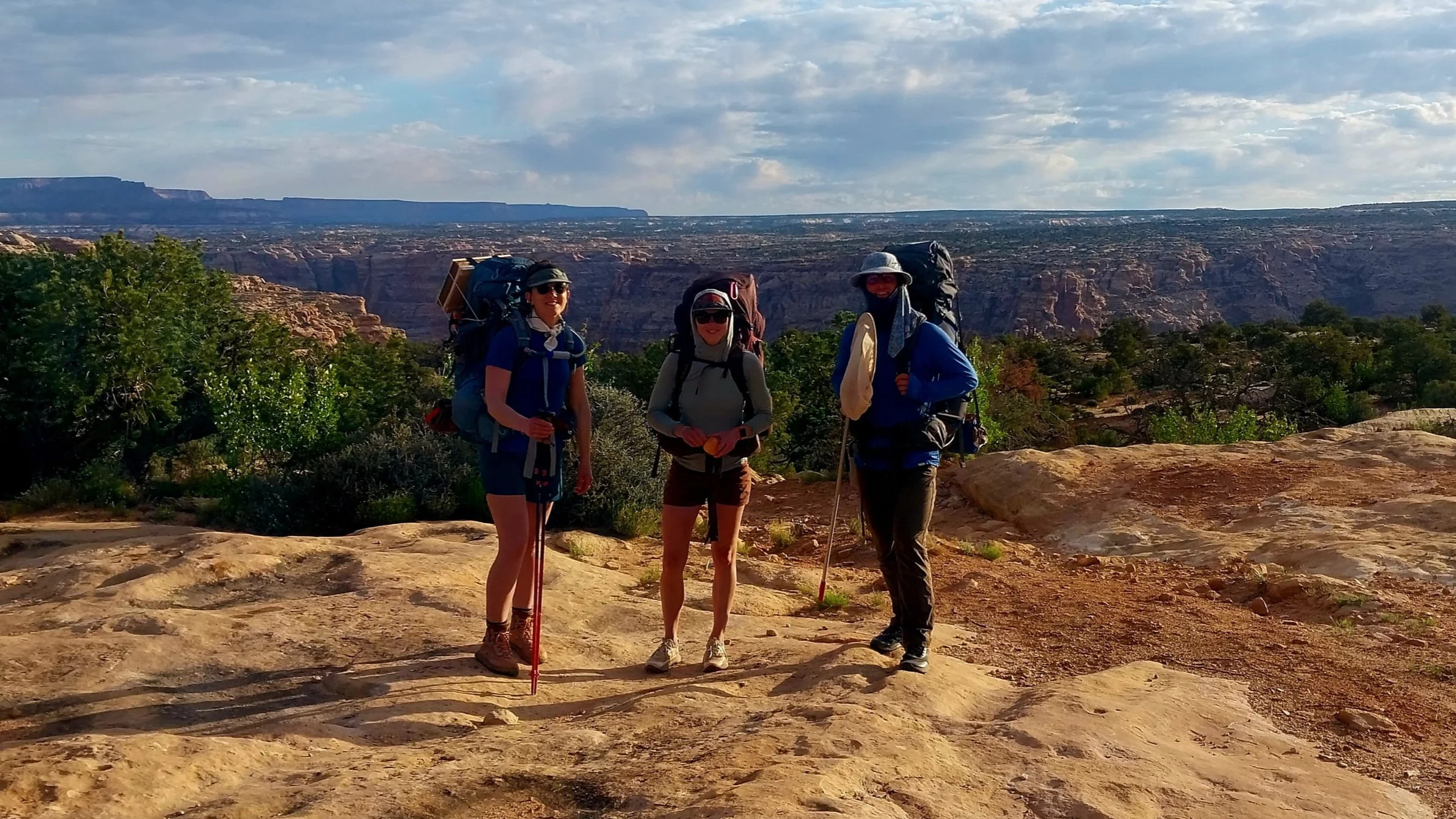
The SSI field crew on the rim of Dark Canyon
Bears Ears National Monument
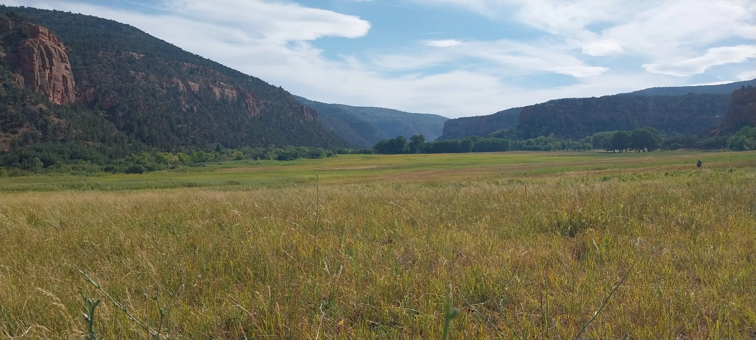
Since 2023, SSI have partnered with BLM Utah to continue our work mapping springs in Bears Ears National Monument. Directed by the BLM to focus on inventorying springs within Dark Canyon, Grand Gulch and Armstrong Canyon priority watersheds, SSI conducted fieldwork in 2024 and 2025 to provide insight on water sources within these beautiful, rugged drainages, and the life that depends on them. Bears Ears National Monument was established by President Obama in 2016, in collaboration with a coalition of Native American tribes. The monument was drastically reduced in size by the subsequent administration in 2017, and restored to its original boundary by President Biden in 2021. Bears Ears is widely recognized as a sacred landscape and well known for its many archaeological sites. Like many of us do today, the people of the past relied on springs as their primary water source. We are thrilled to be contributing to the story of this landscape by mapping and describing these springs.
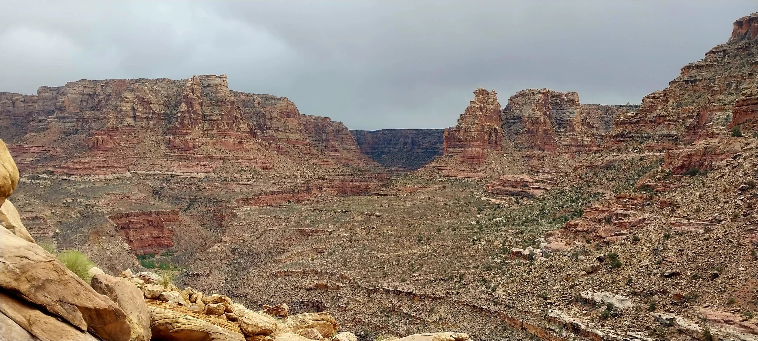
Dark Canyon - Bears Ears National Monument
Arizona
In Arizona, America's second driest state, water is the most critical natural resource. Isolated by arid, expansive landscapes, springs are ecological islands of habitat that support a wide array of species.

Verde Watershed Springs
SSI is excited to continue working within the Verde watershed, mapping and inventorying the headwater springs that provide critical baseflow to the Verde’s tributaries. We received generous grants from the Nina Mason Pulliam Charitable Trust in 2023 and 2025 to support this work, and we are looking forward to collaborating with citizen scientists from Friends of the Verde River to conduct ecological monitoring of these ecologically important springs. Click here to learn more about this project and get involved.
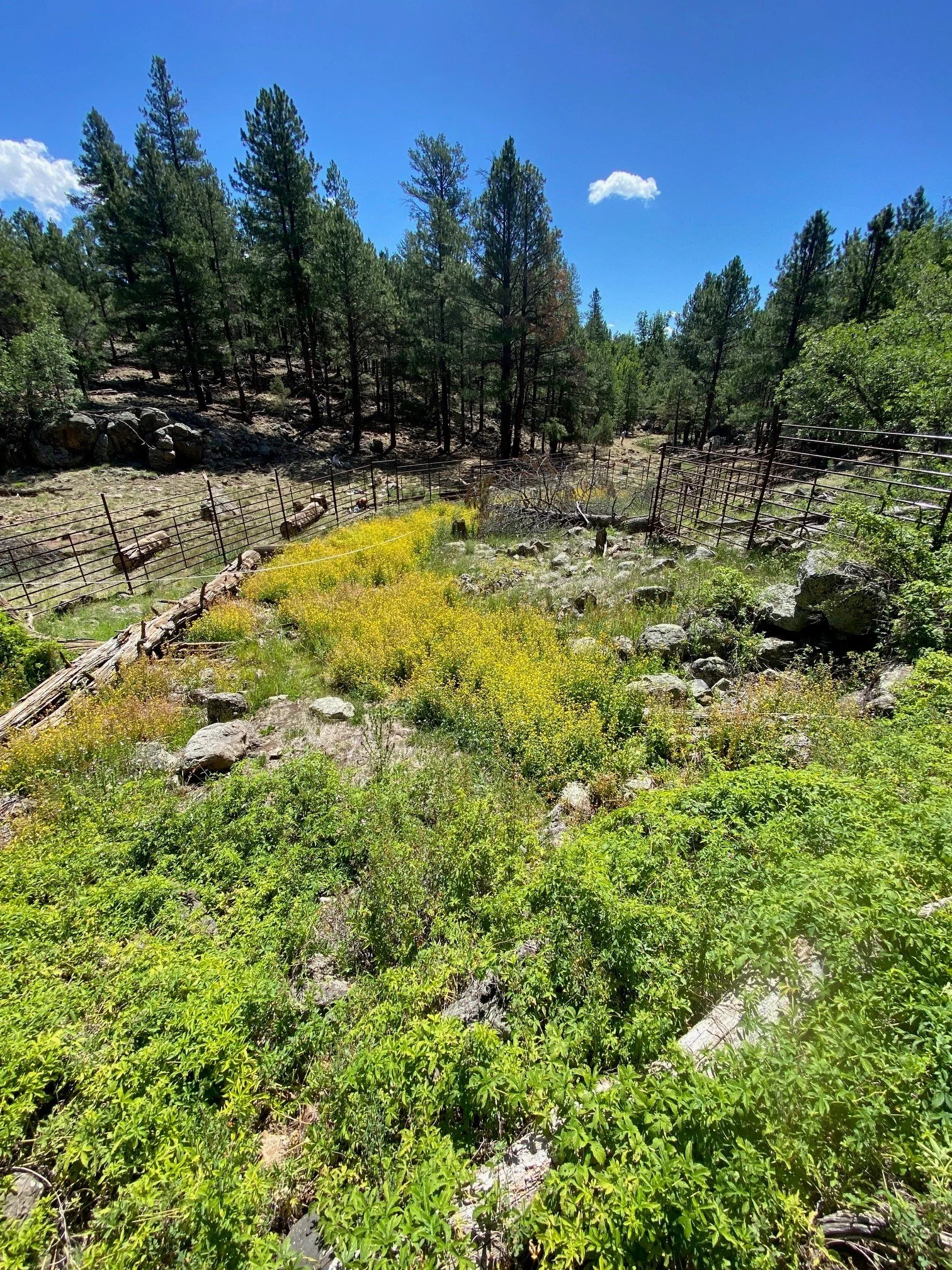
Elk fencing erected around Big Spring led to a burst of colorful monkeyflower along the spring outflow channel.
Kaibab National Forest
SSI has been partnering with Kaibab National Forest since 2011 to document the springs around Williams and on the North Rim of the Grand Canyon. Some of these springs were part of SSI’s five-year study on the impacts of thinning and controlled burns, conducted by the Kaibab National Forest as part of the Four Forests Restoration Initiative. Most recently, SSI has been assisting the Kaibab with identifying springs for restoration, with Big Spring on the Williams Ranger District selected for elk fencing to protect the source. The restoration resulted in astonishing growth of monkeyflower, an amazing nectar resource for pollinators! See the restoration in action in this video commissioned by the Arizona Elk Society.

Royal Arches, a hanging gardens springs system in Grand Canyon. Photo by Larry Stevens.
Grand Canyon
The Grand Canyon ecoregion contains over 1,500 known springs, likely more. The towering cliffs expose the edges of aquifers, resulting in one of the highest concentrations of springs in the United States. We have received funding from the Grand Canyon River Outfitters Association to conduct ecological inventories of springs in Grand Canyon, and to create a variety of outreach materials for river guides, other outfitters, and visitors to the Grand Canyon. Our latest outreach project is creating a field guide to the butterflies of the Grand Canyon region. Learn more about springs research in the Grand Canyon.
Nevada
Nevada, America’s driest state, contains a high concentration of springs. As in other arid regions, the number of springs is unknown, and hundreds likely remain unmapped. The Nevada Department of Wildlife presents a springs map in their 2012 Wildlife Action Plan.

Nevada Springs Inventory
Since 2018, SSI has been working with the Nevada Natural Heritage Program and the US Environmental Protection Agency to compile and refine information about under-studied springs. In addition to resolving uncertainties and questions on previously compiled data, the SSI team is conducting dozens of inventories and assessments per year of springs in under-studied regions, and contributing to efforts to understand the distribution and status of springs-dependent species. We have recently received funding to continue this work through 2027. Currently Springs Online contains data for over 25,000 springs in Nevada. See a fun video of pupfish spawning here.
Colorado
Escalante Ranch
In 2024 and 2025, SSI partnered with BLM Colorado and the Nature Conservancy to conduct springs inventories on Escalante Ranch, a formerly private ranch within the Dominguez-Escalante National Conservation Area that has now transitioned to the BLM. This exciting acquisition led to a need to document the many springs emerging from the Wingate and Chinle sandstone formations in this beautiful canyon, that directly contribute to Escalante Creek and the Gunnison River, home to endangered species including the Colorado Pikeminnow and the Razorback Sucker. While surveying, SSI discovered an abundant population of the threatened Silverspot butterfly, and good numbers of bog violet, the caterpillar’s sole food plant. This exciting discovery will help guide wet meadow grazing and mowing on the ranch, with a view to protecting this important plant and its associated rare butterfly.
Escalante Ranch
California
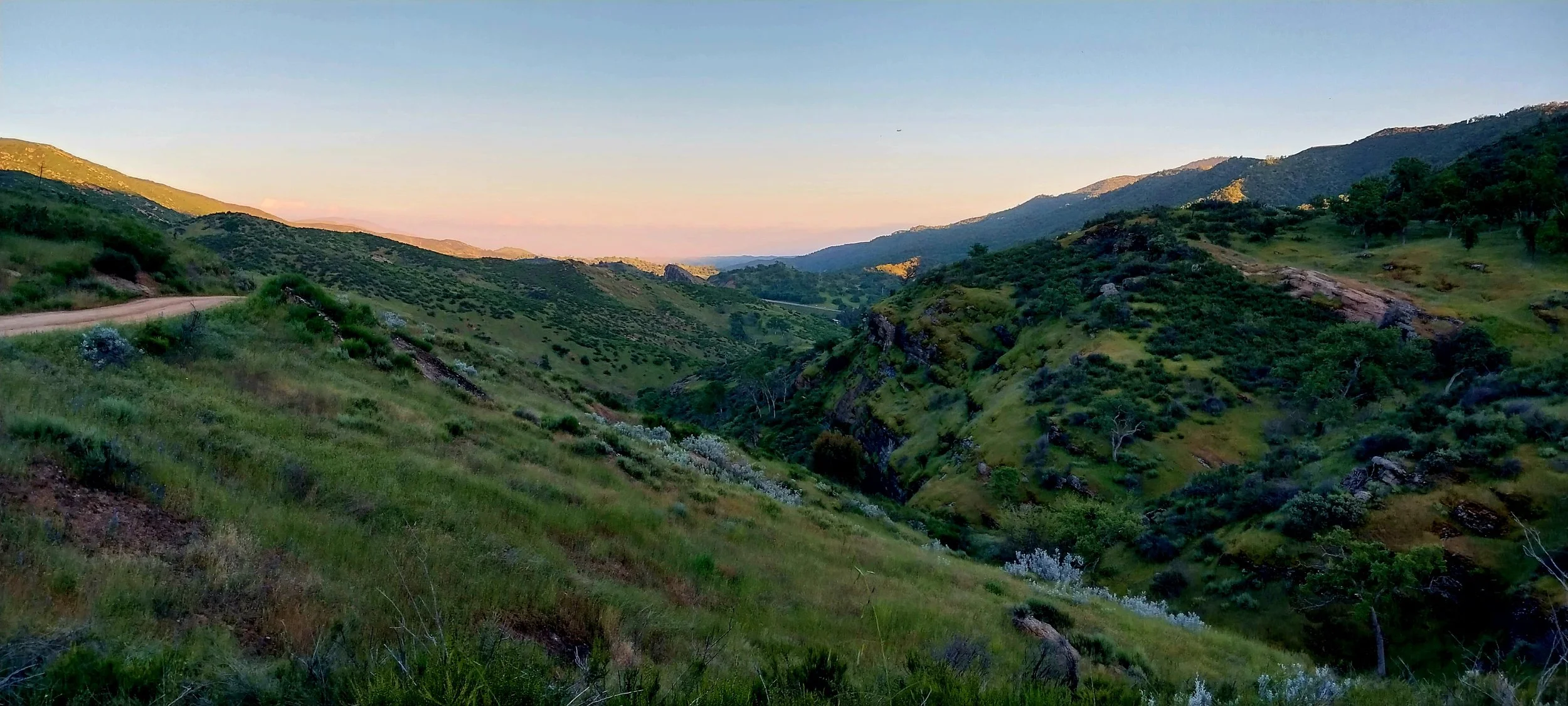
Los Padres National Forest
Los Padres National Forest
In 2024, SSI partnered with Los Padres National Forest to conduct springs inventories within the Cuyama Basin of central California. This valley, nestled between the Sierra Madre mountains to the south, and the Carrizo Plain National Monument to the north, currently supports a thriving agricultural sector, yet the groundwater of the Cuyama Basin is critically overdrawn. Following the introduction of California’s Sustainable Groundwater Management Act in 2014, a Groundwater Sustainability Plan needs to be adopted for the 21 basins and subbasins identified by the Department of Water Resources as “critically overdrafted” of which the Cuyama Basin is one. The Cuyama Basin is currently undergoing a Comprehensive Groundwater Adjudication, in which the Department of Justice is defending the United States’ claims to groundwater to support groundwater-dependent ecosystems on the Los Padres National Forest, and SSI has collected data on springs within the basin to inform this process, through documenting the ecological need for groundwater at these springs.
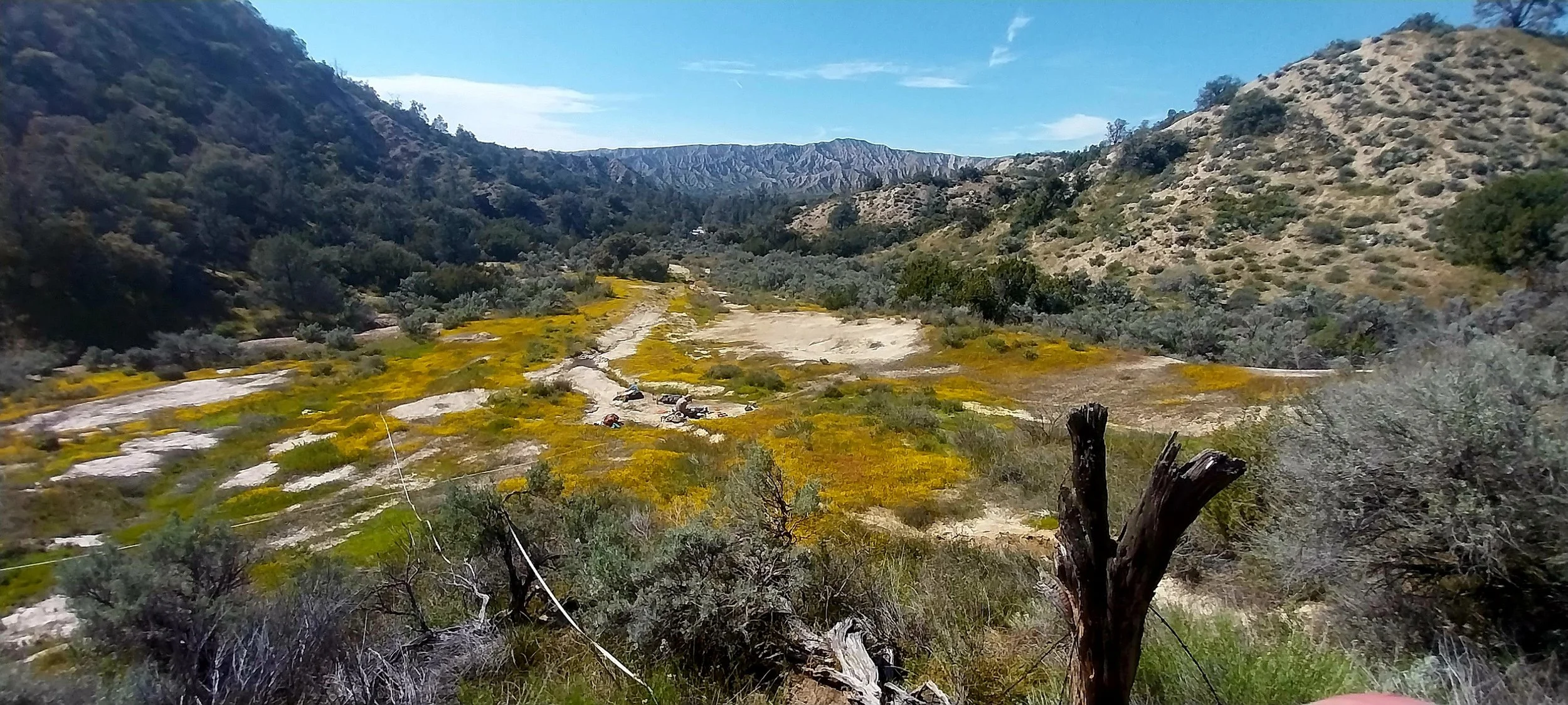
Spring wildflowers at Mud Spring on Los Padres National Forest